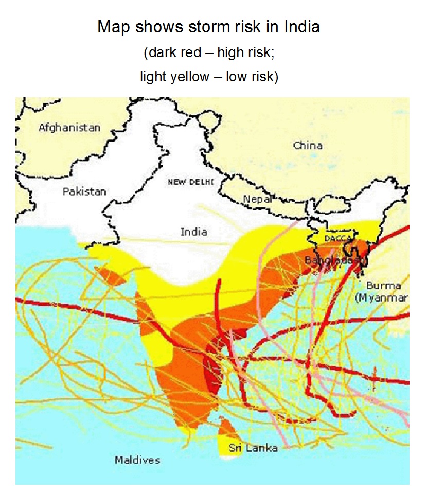
Storm risk in India
Submitted by Christine on
Source:
http://proceedings.esri.com/library/userconf/proc02/pap0701/p0701.htm
Image:

The image shows a risk map of India, which was developed using a geoinformation software. The map uses historical data to visualize the past storm areas.


